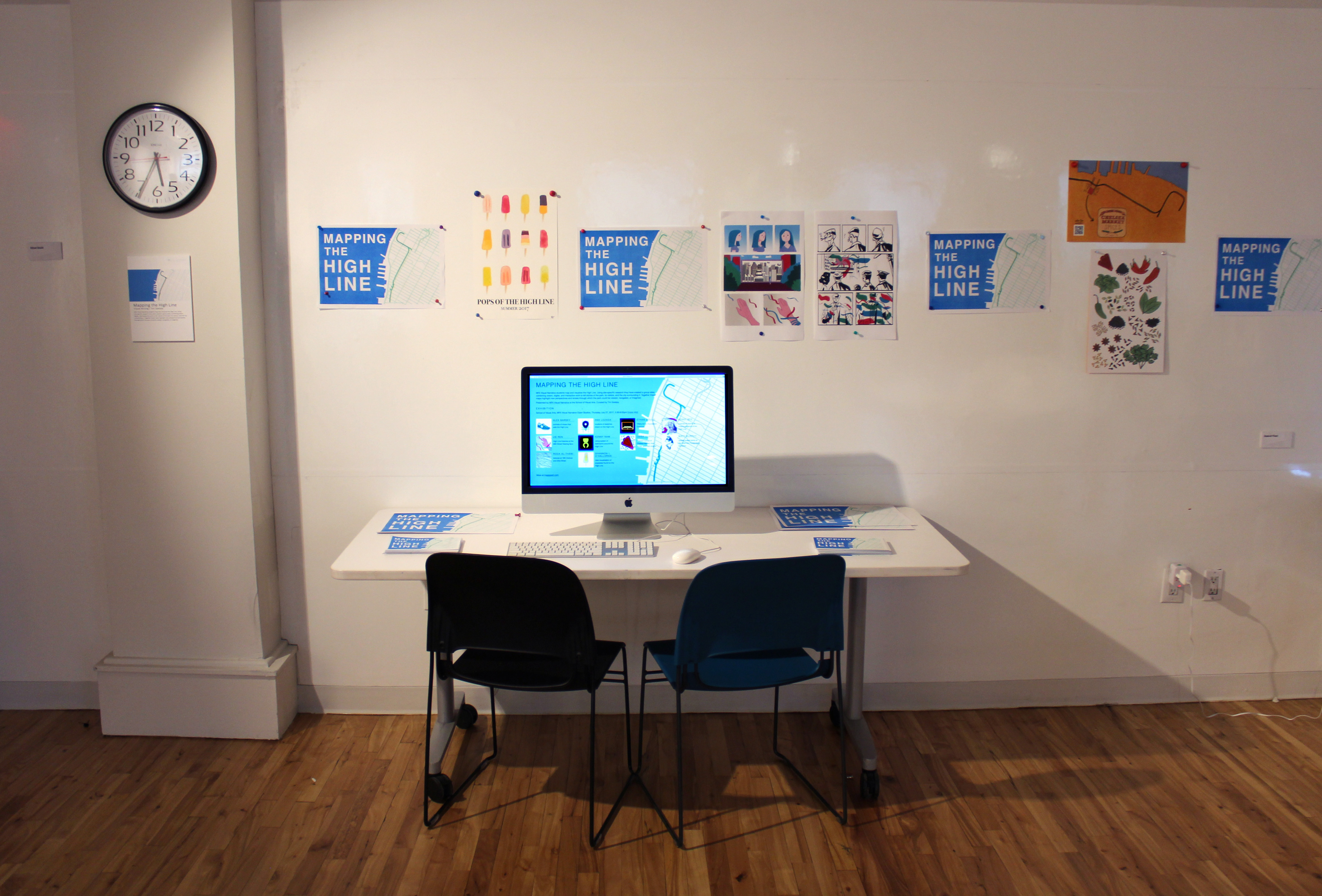
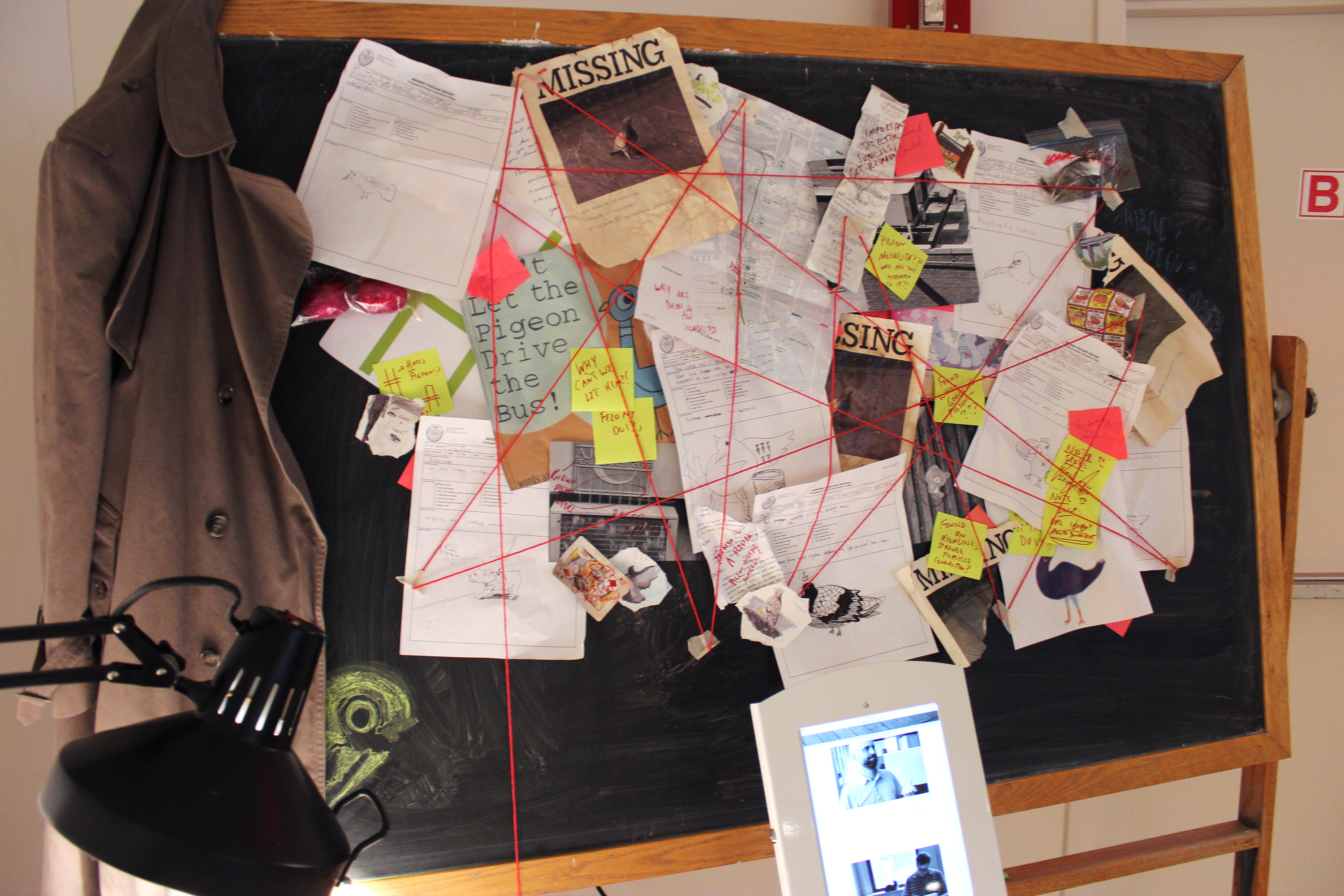
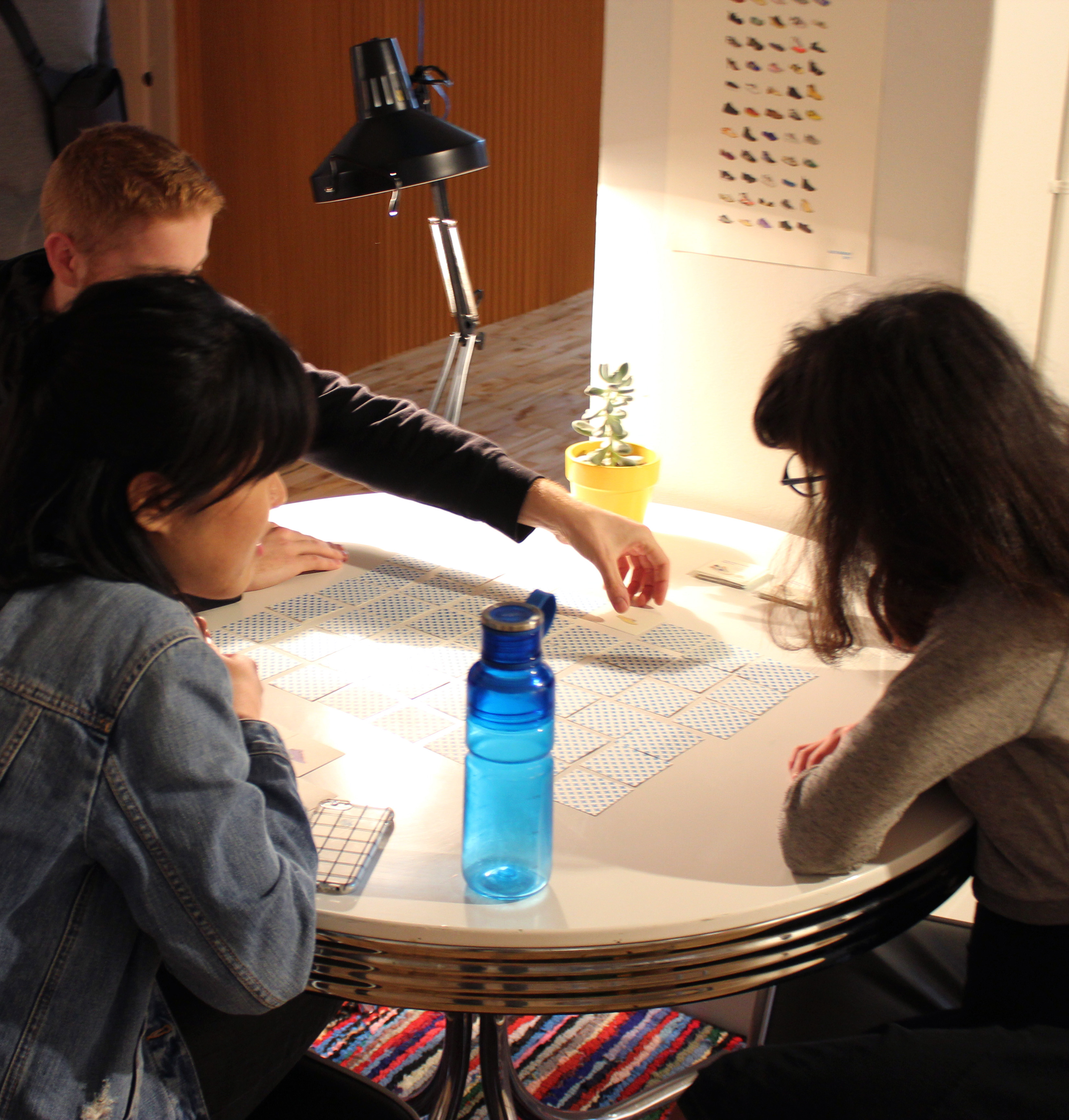
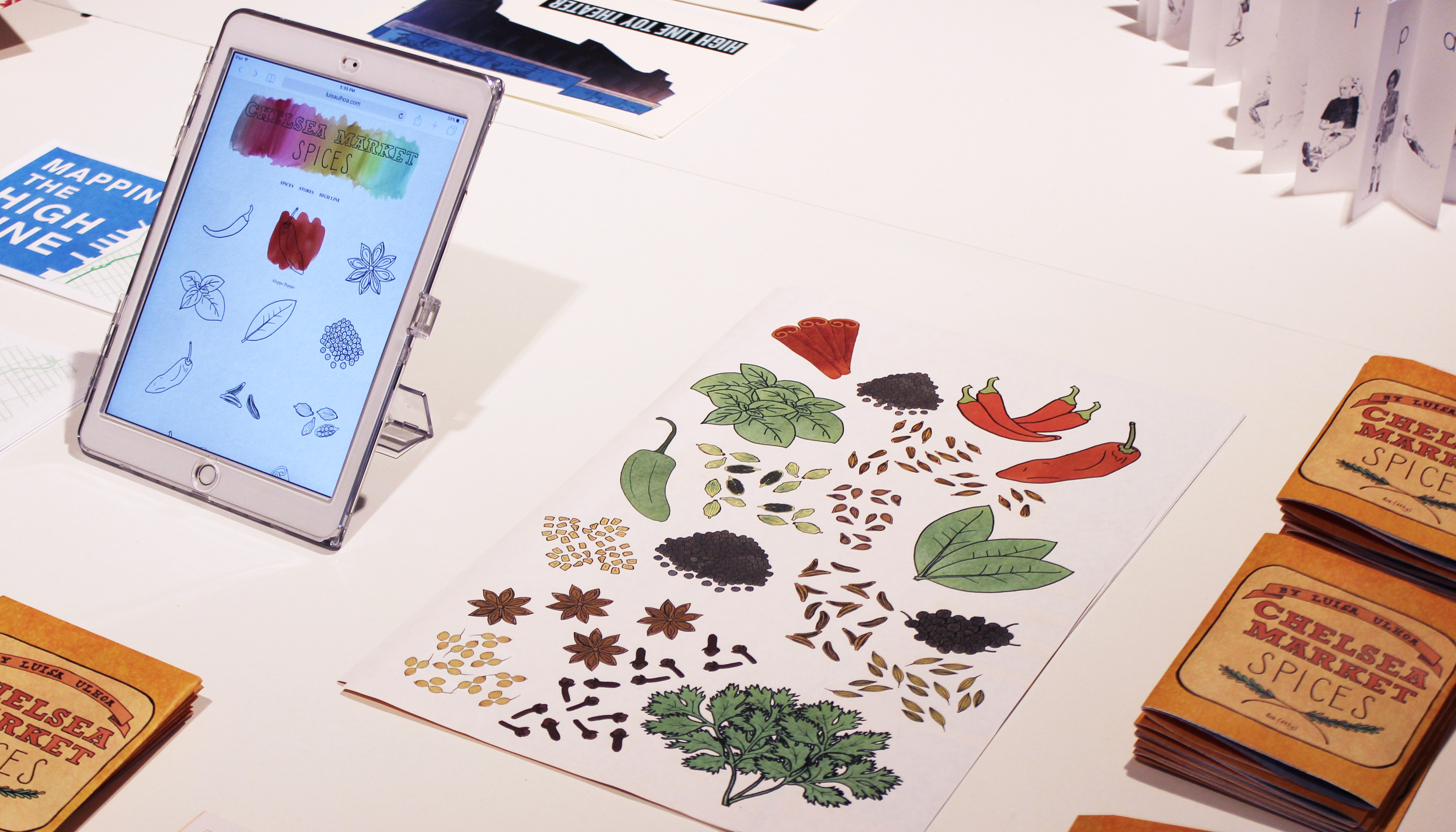
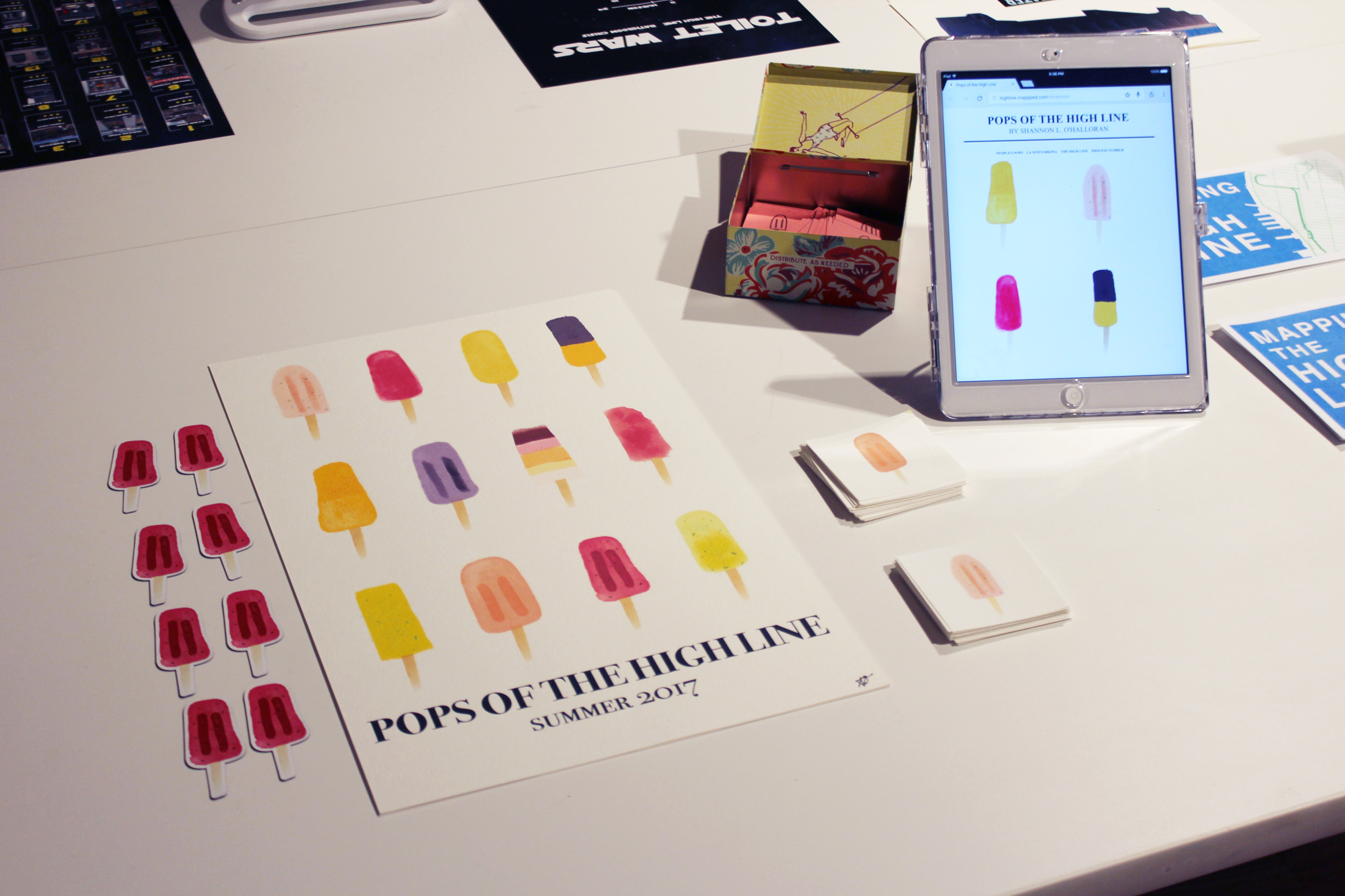
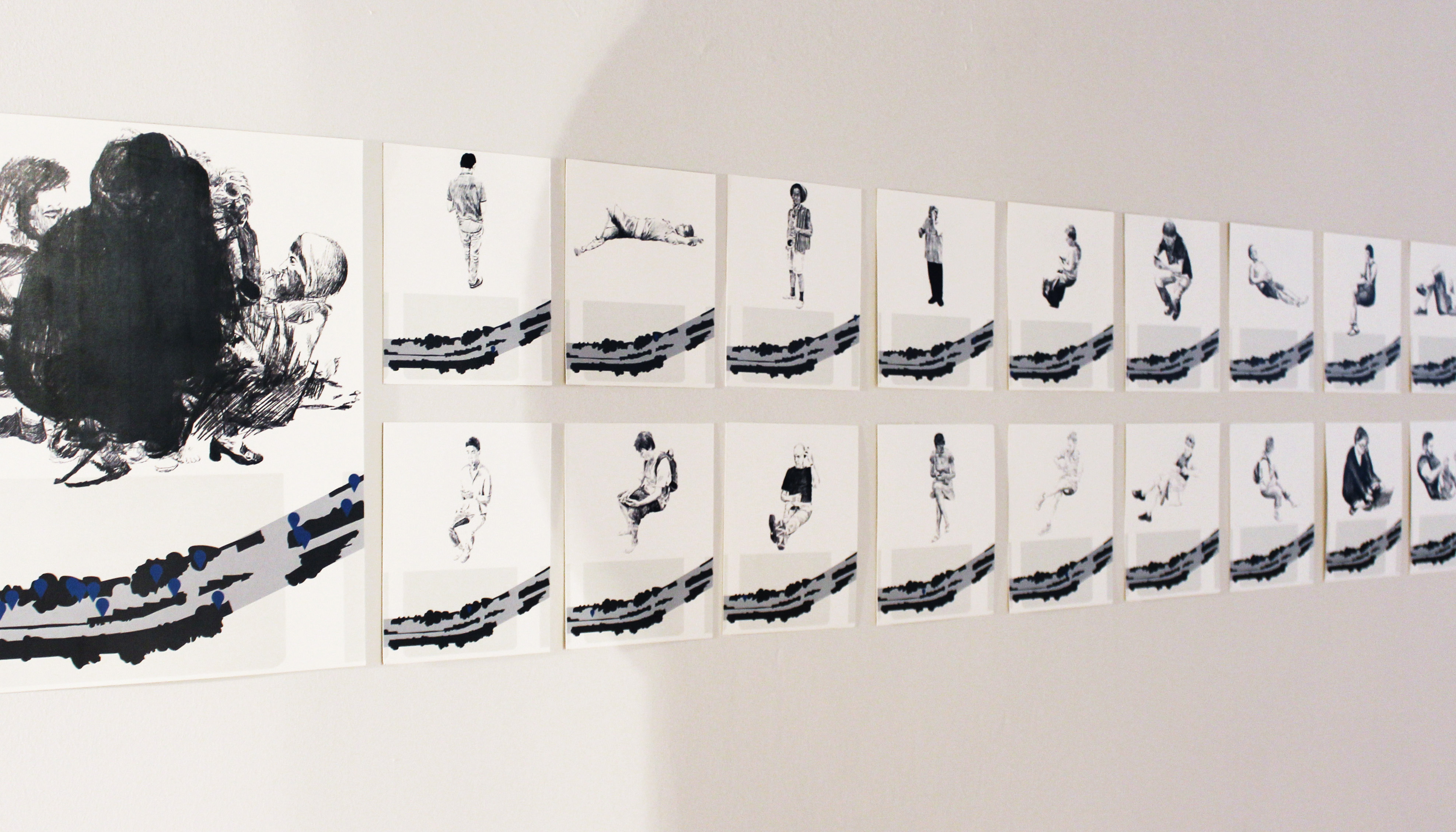
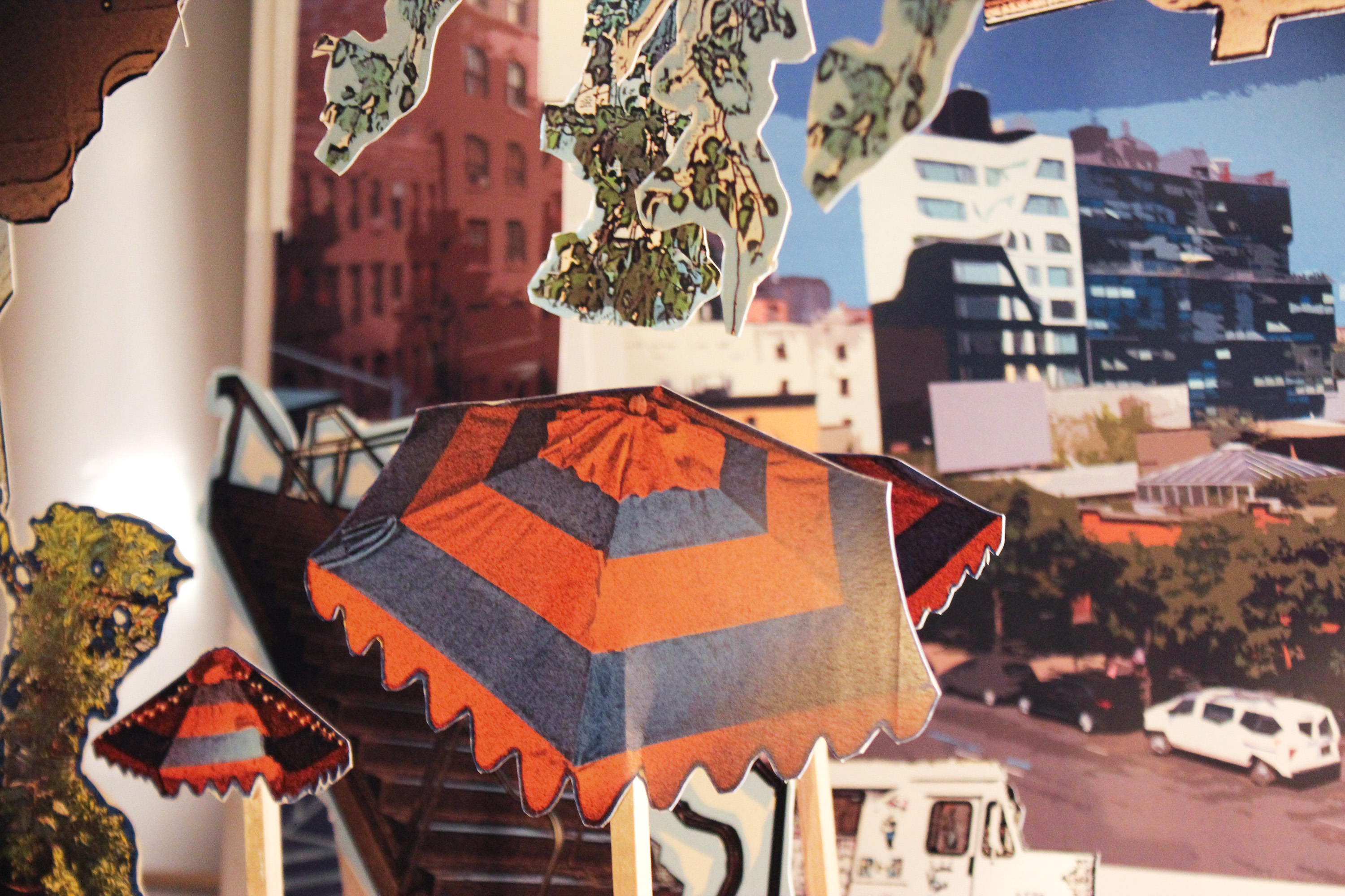
Mapping the High Line
MFA Visual Narrative students map and visualize the High Line. Using site-specific research they have created a group atlas, combining drawn, digital, and interactive work to tell stories of the park, its visitors, and the city surrounding it. Together these maps highlight new perspectives and lenses through which the park could be viewed, navigated, or imagined.
Role
Instructor, Curator
Links
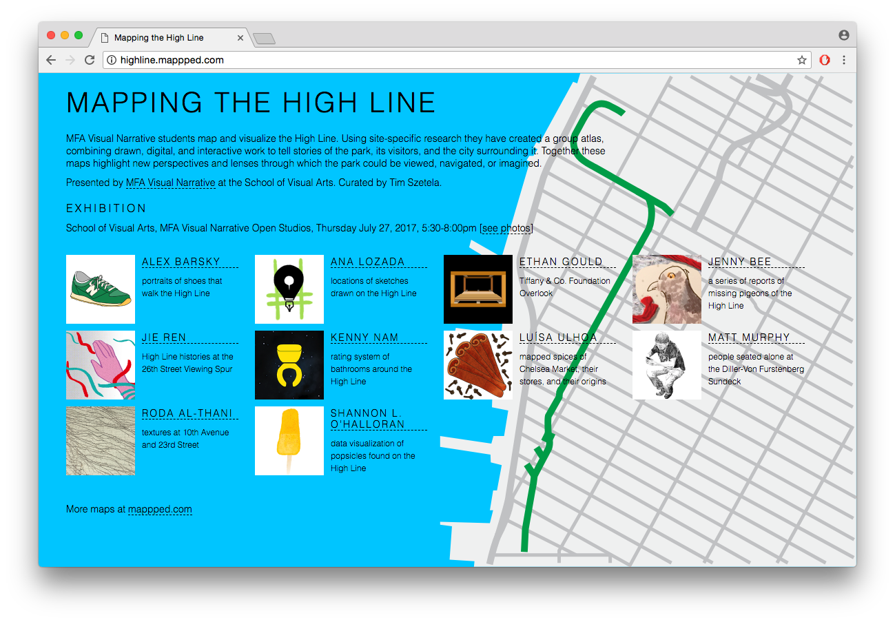
Exhibition
School of Visual Arts (New York) | MFAVN Open Studios | 07.27.2017 [see photos]
Press
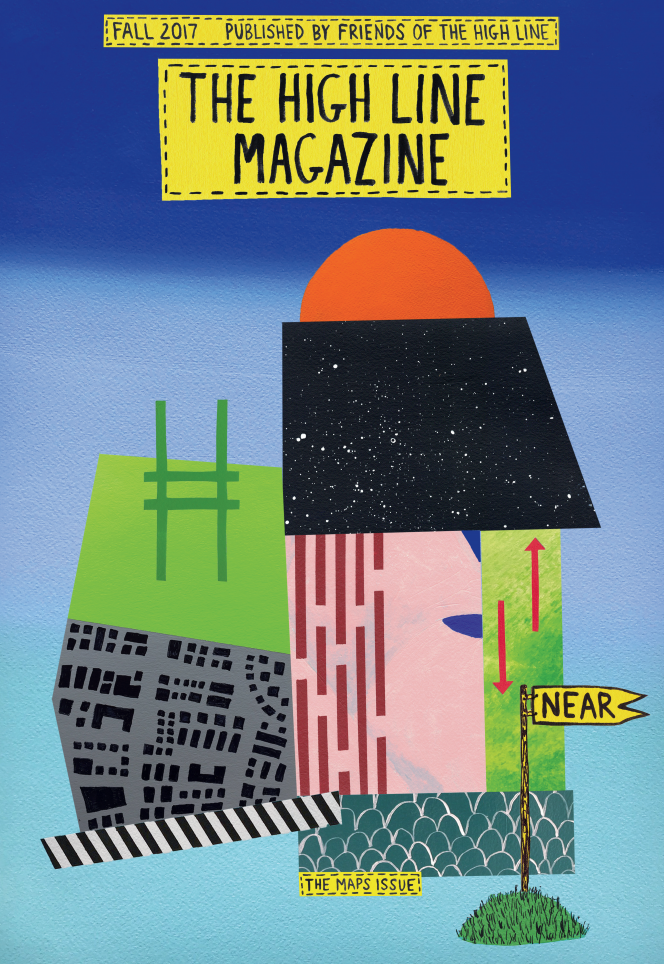
The High Line Magazine, The Maps Issue, Fall 2017
Year
2017