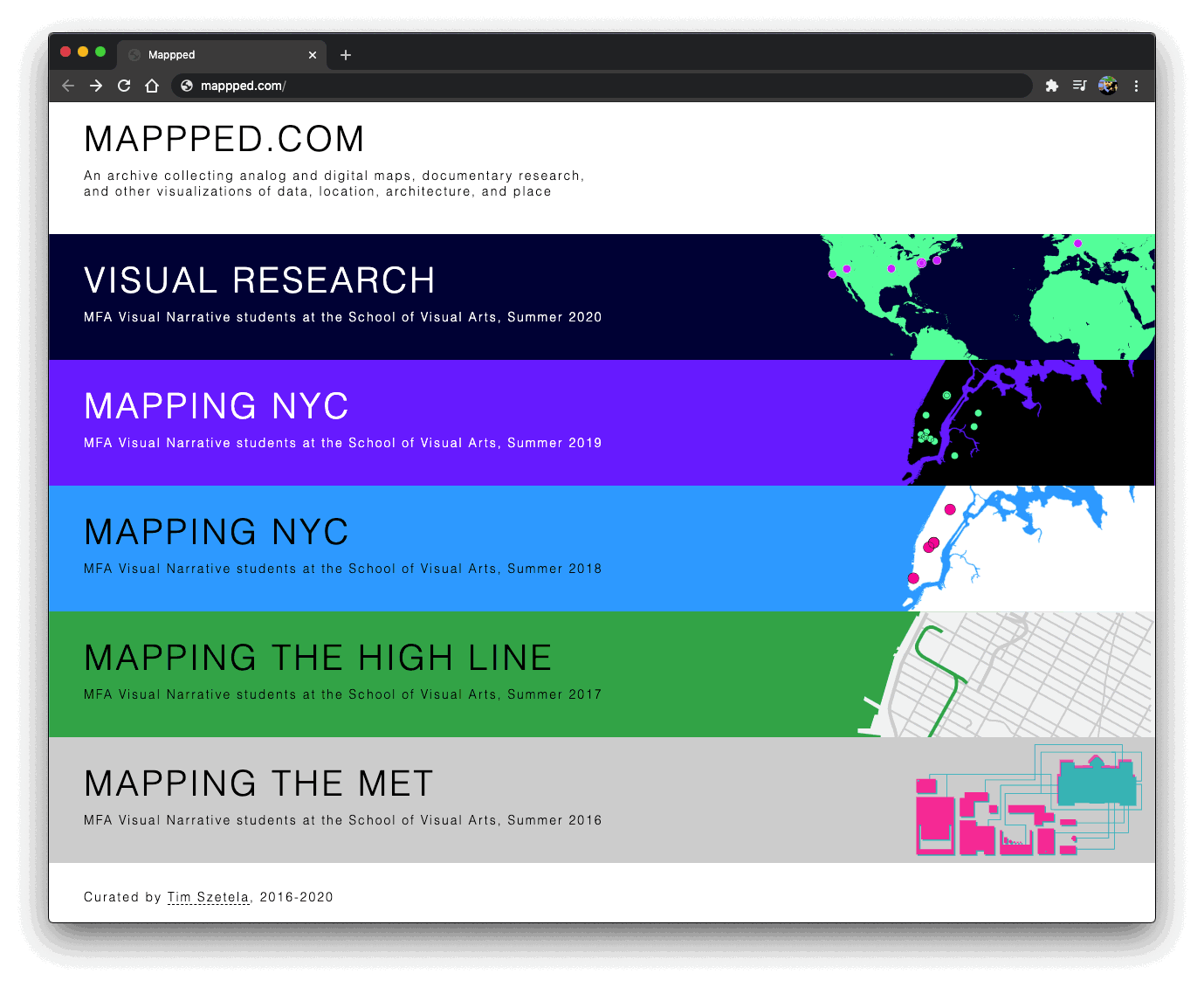
Visual Research
A collective digital atlas, housing the work of a decade of visual research projects, centered around New York City
Role
Lead Faculty, Course Design
Links
Explore the 2016-2025 Project Archive
Course Description
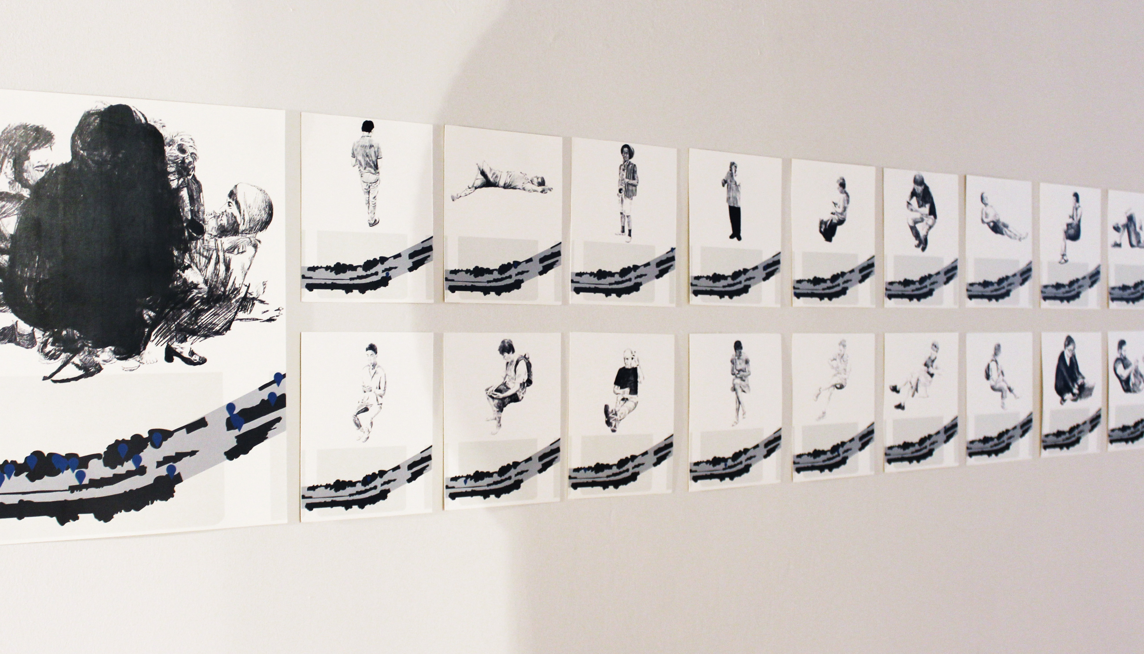
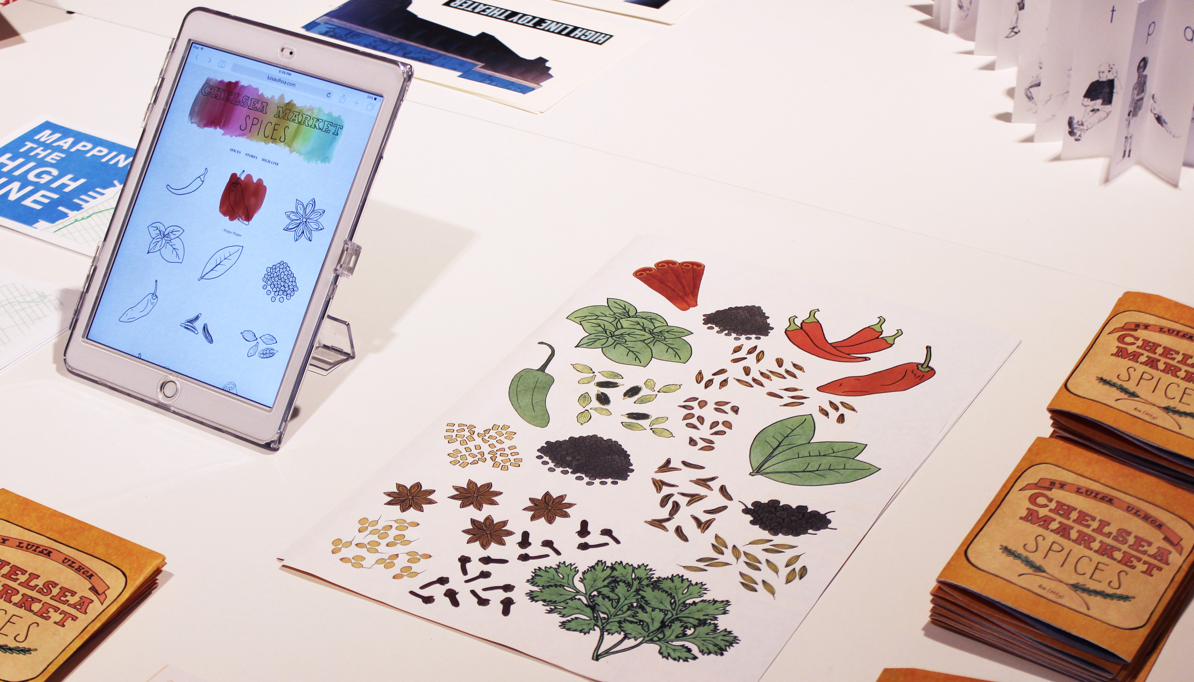
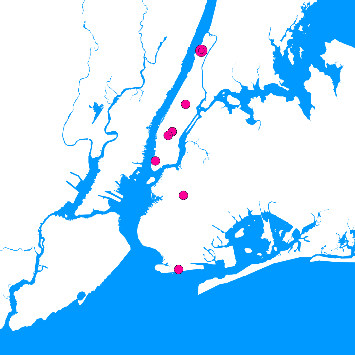
In this course, students spend their summer semester exploring New York City, applying a range of site-specific research techniques. They each select and investigate distinct locations within the city, building detailed visual archives and a series of analog and digital maps, diagrams, and data visualizations intended to communicate observations, characteristics, and experiences particular to their locations. The work produced in this class is also intended to be utilized as a reference for the development of their thesis projects or as a means of building worlds that future stories they craft could inhabit.
Iterations
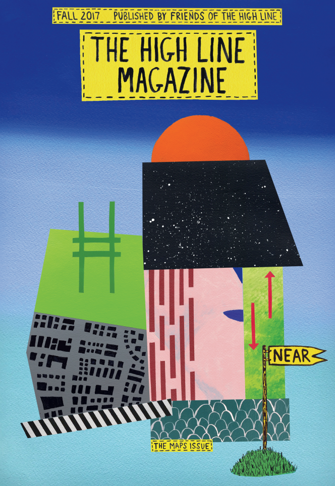
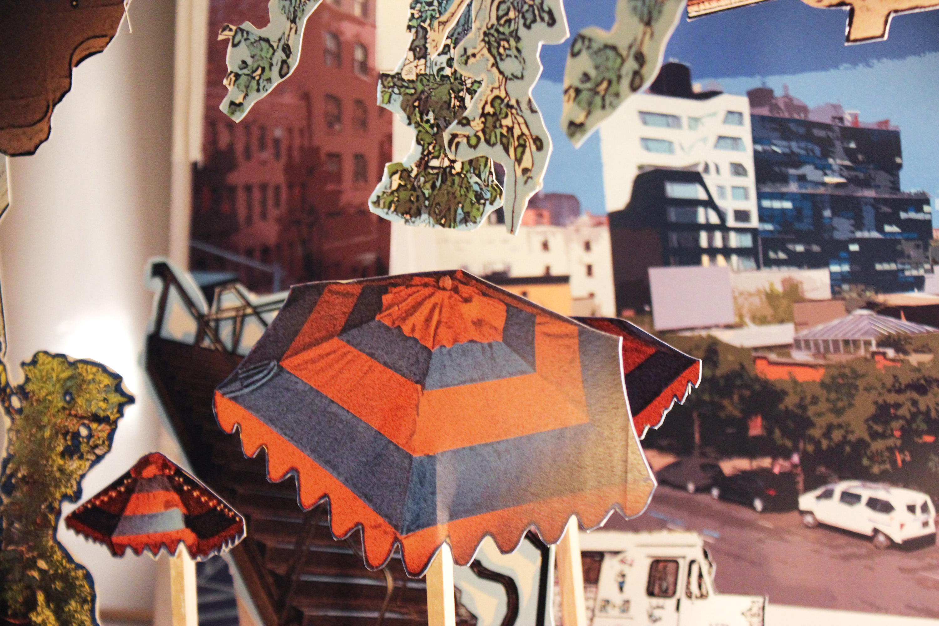
Mapping the High Line (Summer 2017)
Taught at
MFA Visual Narrative at the School of Visual Arts
[with Jenny Goldstick, 2022-2025]
[with April Soetarman, 2024-2025]
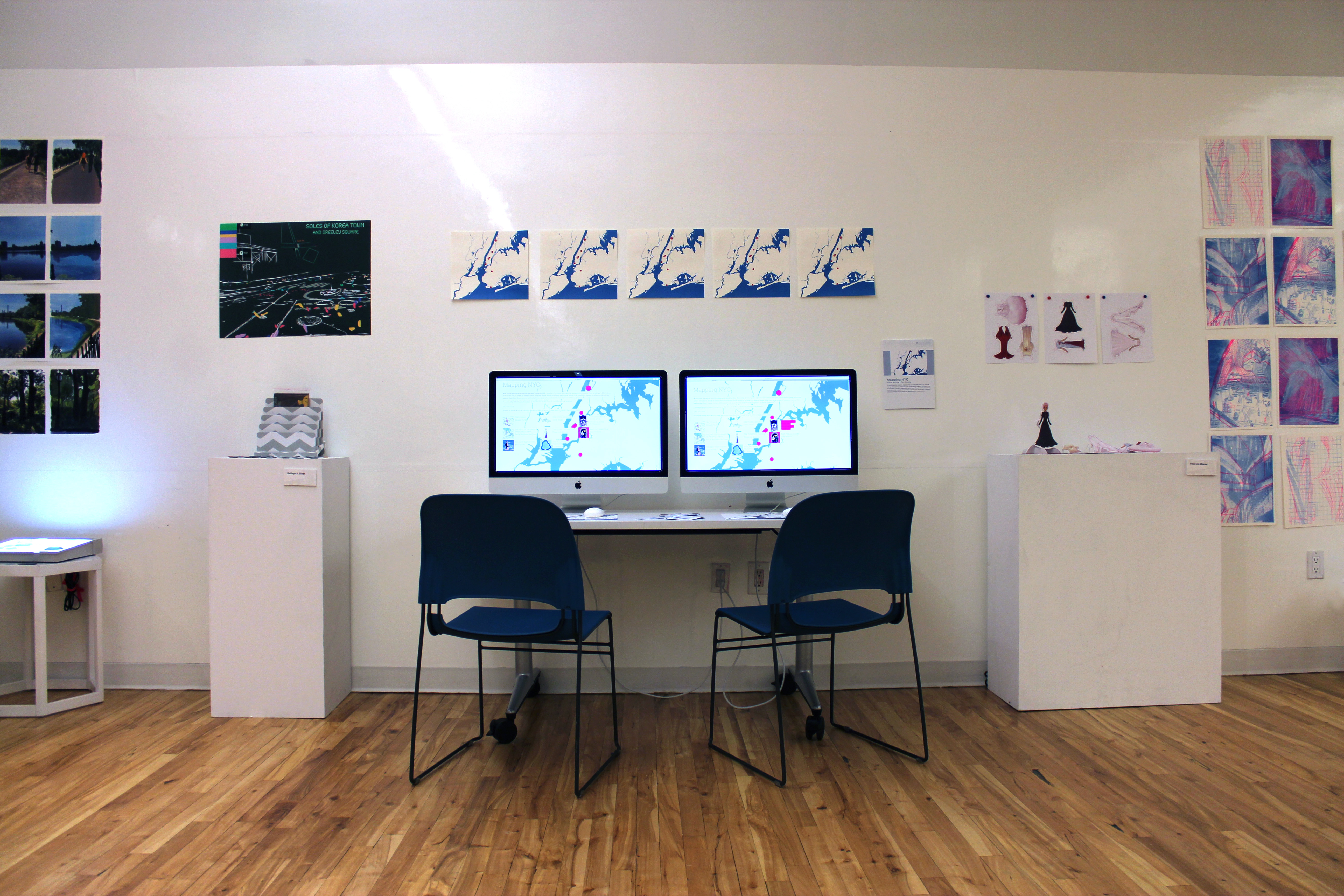
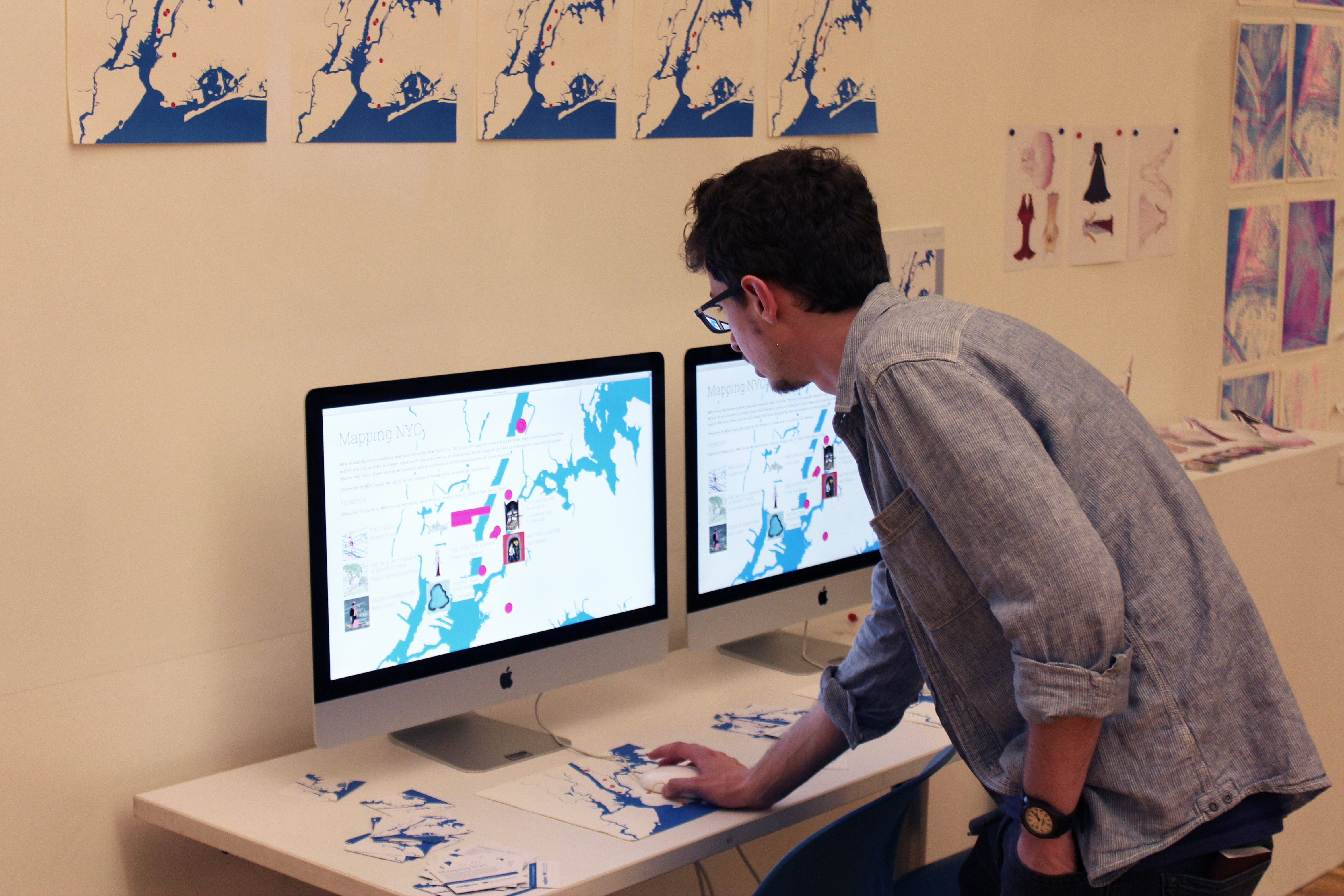
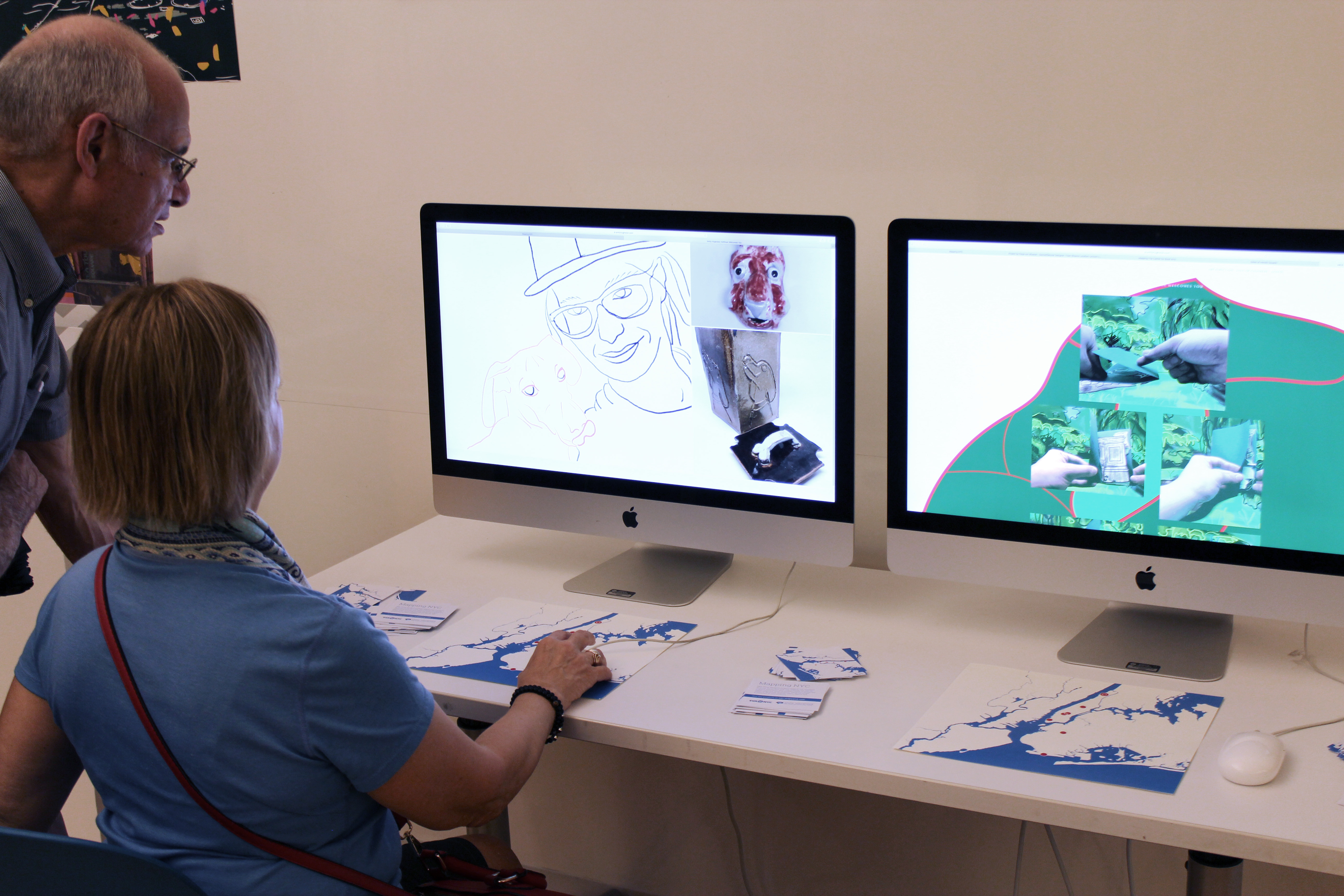
Exhibited
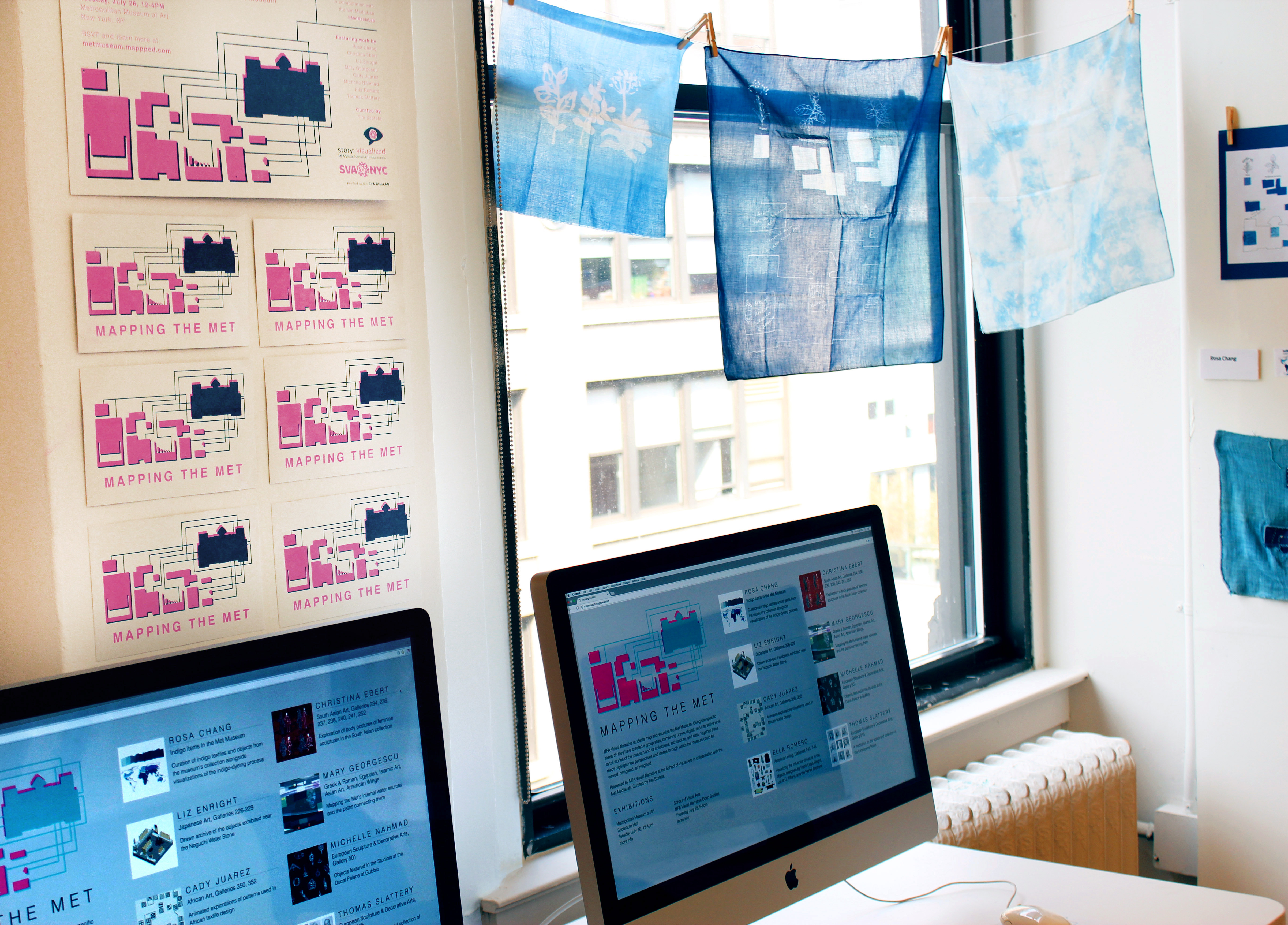
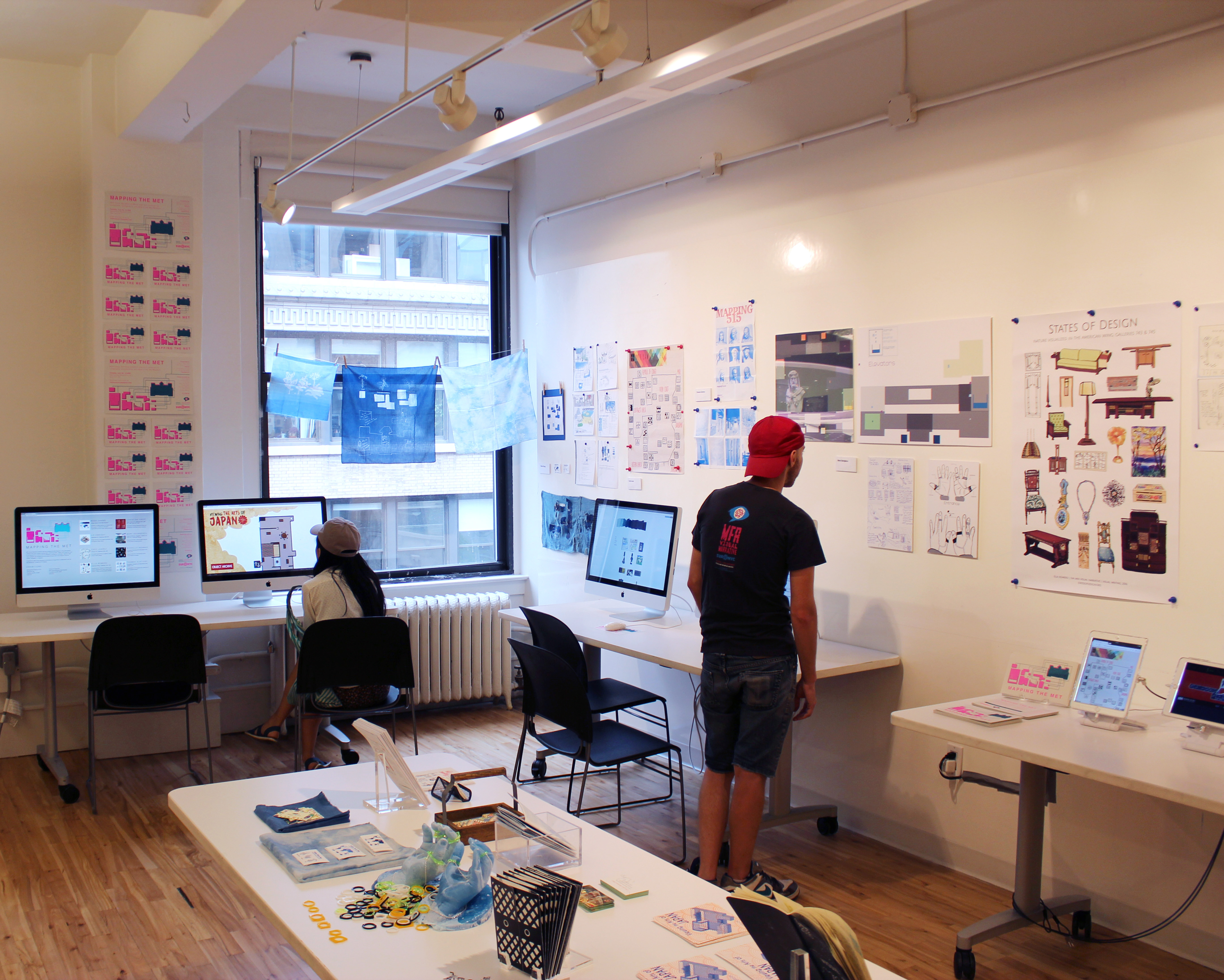
Metropolitan Museum of Art | New York | 07.26.2016 [see photos]
School of Visual Arts | New York | MFAVN Open Studios | 07.28.2016 [see photos]
School of Visual Arts | New York | MFAVN Open Studios | 07.27.2017 [see photos]
School of Visual Arts | New York | MFAVN Open Studios | 07.27.2018 [see photos]
School of Visual Arts | New York | MFAVN Open Studios | 07.26.2019 [see photos]
School of Visual Arts | New York | MFAVN Open Studios [online galleries] | Summer 2020
School of Visual Arts | New York | MFAVN Open Studios [online galleries] | Summer 2021
School of Visual Arts | New York | MFAVN Open Studios | 07.29.2022
School of Visual Arts | New York | MFAVN Open Studios | 07.28.2023
School of Visual Arts | New York | MFAVN Open Studios | 07.26.2024
School of Visual Arts | New York | MFAVN Open Studios | 07.25.2025
Press
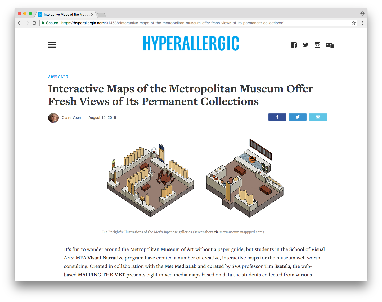
Interactive Maps of the Met Offer Fresh Views of Its Permanent Collections
Hyperallergic | 08.10.2016
The High Line Magazine, The Maps Issue, Fall 2017